Listen Now:
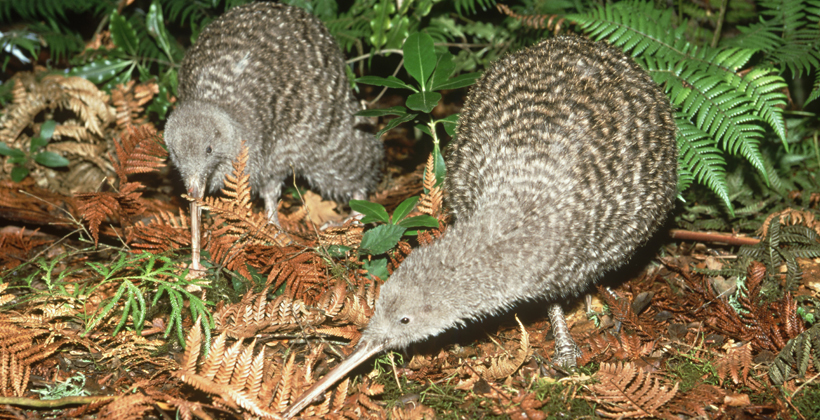
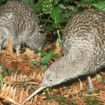
Iwi and conservation groups are being offered free software to track and plan the conservation of native taonga species in their rohe.
Kiri Reihana from Manaaki Whenua – Landcare Research says the Geographical Information Systems package includes publicly available mapping data to allow users to see where specific species like kiwi live and the way the environment is changing.
It can be set for a large landscape or region, or at an iwi-specific scale.
Users can access all basic GIS maps in one place and look at geospatial layers of landcover, vegetation, rivers and other information.
The crown research institute created the package with national kiwi protection organisation “Kiwis for Kiwi” after conservation groups requested a low-level introduction to geospatial visualisation tools for monitoring and planning conservation progress.
 &
& 
Copyright © 2020, UMA Broadcasting Ltd: www.waateanews.com