Listen Now:
 April 17, 2018
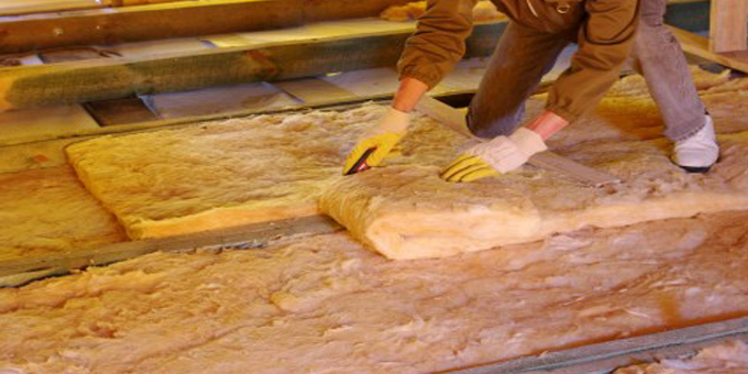
High tech eye in the sky helps erosion control
East Coast Maori land at risk of erosion will be identified with new technology thanks to an $830,00 grant from the Ministry for Primary Industries’ erosion control funding programme to the Gisborne District Council.
The money will fund high definition digital 3-D aerial mapping using the LiDAR remote sensing tool which uses laser pulses to generate large amounts of highly accurate geographical terrain data.
MPI deputy secretary Ben Dalton says LiDAR’s accuracy will give better data to accurately assess erosion risks, increase the effectiveness of erosion control treatments, and evaluate the success of past land treatments.
The LiDAR data will be free for public and commercial businesses to use.
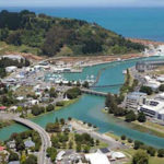
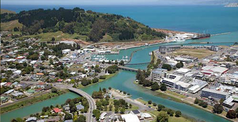
The East Coast is the most erosion prone region in New Zealand.
Gisborne District Council chief executive Nedine Thatcher Swann says LiDAR is a key element in unlocking Maori land productivity and will be invaluable to the forestry industry which often fly localised LiDAR to help with harvest planting.
The data will also assist in road design and planning and enable the council to better map and manage natural hazards, such as flood-prone, tsunami and storm surge areas.
 &
& 
Copyright © 2018, UMA Broadcasting Ltd: www.waateanews.com